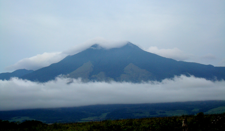
Miravalles Volcano Pictures taken before reaching Guayabo, Bagaces
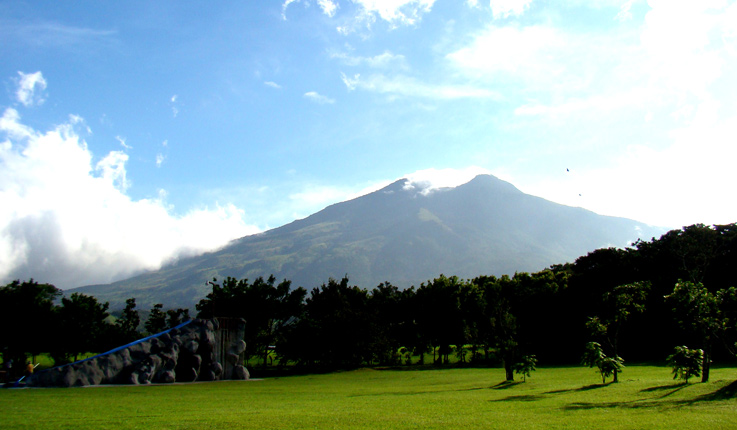
The picturesque, cone-shaped volcano of Miravalles can be found nine miles north of the small town of Bagaces, in the province of Guanacaste. The only volcanic activity to occur in recorded history has been secondary, consisting of thermal fountains and mud pits.
It is the tallest point in the Guanacaste Mountain Range. A crater 1,968 feet in diameter is located at the southeast base of the volcano and it is full with primery forest nowdays. Two smaller cones have emerged in the northeast section of the central cone; one has suffered a good deal of erosion damage, but the other stands proudly at 6,561 feet above sea level.
Miravalle’s eastern and northern flanks are green and verdant; the western hills are covered with brushwood; and the southern slopes are marked by canyons and lava trails. The formation intercepts westward-moving rainclouds (and absorbs up to 140 inches of annual rain that they carry) from the Caribbean, keeping the leeside town of Bagaces dry.
The 26,810 acres of surrounding land have been designated the Miravalles Protected Zone, which protects cloud and primary forests inhabited by coyotes, deer, pacas, monkeys, and peccaries.
The first scientific expeditions to explore the summit were conducted in 1851 and 1852, as well as in the 20th century by Ricardo Fernandez Peralta.
Flora and Fauna
In addition to hiking, wildlife and bird watching are top-notch at Miravalles and the surrounding Miravalles Protected Zone. Frequently sighted species of animal include spider monkeys, pumas, tapirs, howler monkeys, collared peccaries, ocelots, white-faced monkeys, hawks, and turkey vultures. Fauna includes palms, ferns, bromeliads, avocado trees, oak trees, and custard apple trees.


