
Turrialba Volcano is named after the region of Costa Rica in which the volcano is situated, Turrialba County, Cartago, Costa Rica. The general consensus is that Turrialba derives from a local Indian language (Huetar).
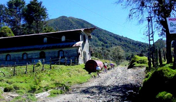
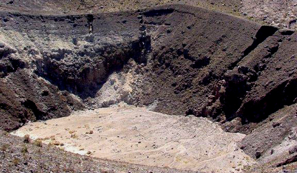
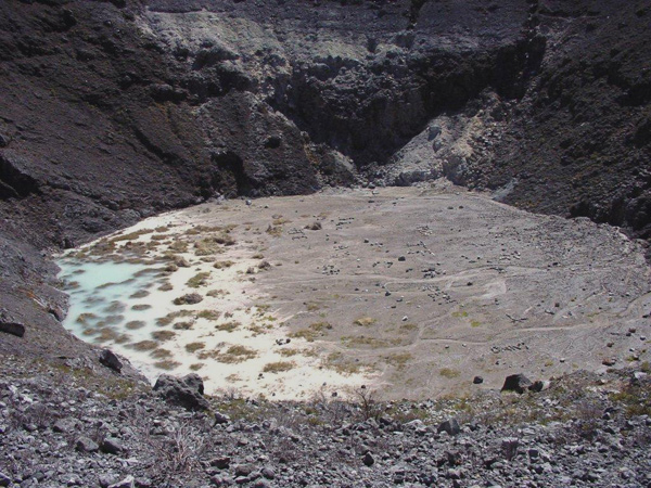
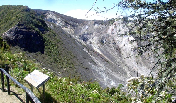
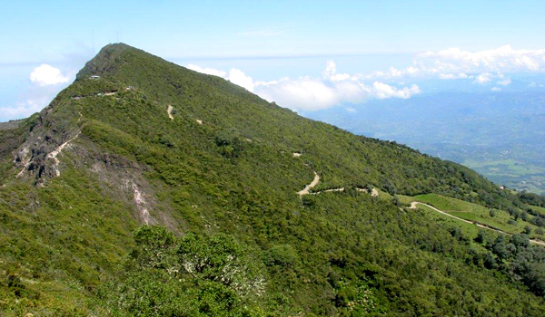
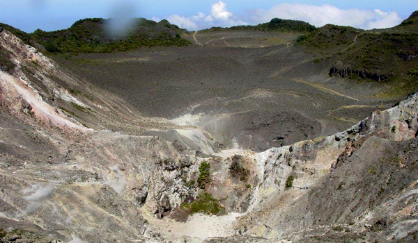
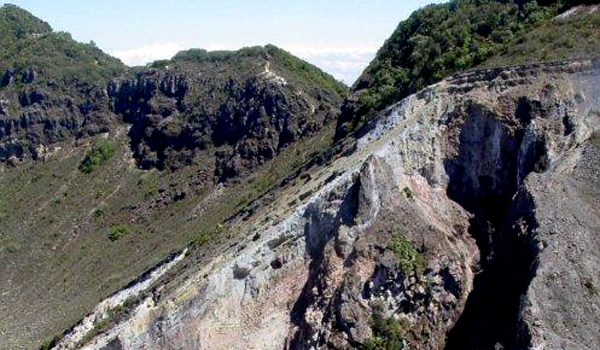
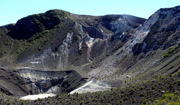
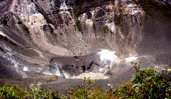
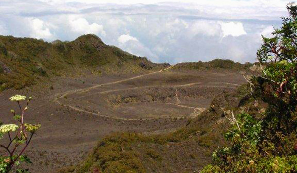
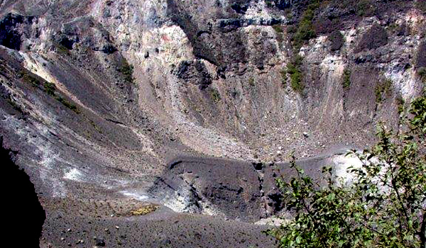
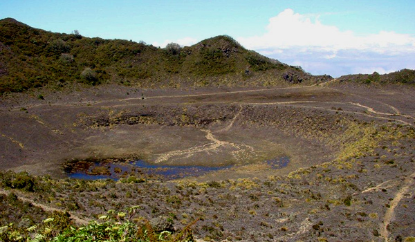
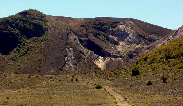
The stratovolcano is 3,340 m (10,958 ft) high and is about 45 minutes from the Atlantic slope town of Turrialba. The summit has three craters, one of which has fumaroles and sulfur pits. Visitors used to be able to hike down into the main crater, but increased gaseous activity has caused the time at the summit to be limited to no more than fifteen minutes. The hike to the top from where the vans usually are forced to stop takes about one to three hours depending on the ability of the hikers. Below the summit is a mountain range and cloud forest, with ferns, bromeliads, lichens and mosses. During the 19th century, it explosively erupted several times (1847?, 1853, 1855, 1861?, 1864–1865, 1866), producing pyroclastic flows. The last major eruption was in 1866, but in January 2001, the volcano reported increased activity, displaying strong fumaroles at the central craters. The volcanic activities have increased since 2005. In January 2010, the volcano emitted ash, and two villages, La Central and El Retiro, were evacuated.
Turrialba is adjacent to Irazú and both are among Costa Rica’s largest volcanoes. It had at least five large explosive eruptions in last 3500 years.
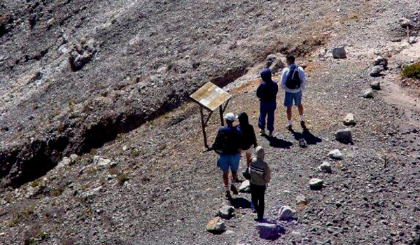
A viewing platform (Mirador) and path and steps were built overlooking the crater by volunteers from the charity Raleigh International in 2007. On clear days both the Pacific Ocean and Caribbean Sea can be seen.


